The Series
Each session addresses a critical stage in the infrastructure intelligence lifecycle.
Capture the physical environment. Understand what is there. Manage how it changes.

Session One · Reality Capture
Building the Digital Foundation
Creating an Authoritative Record of Streets, Corridors and Public Infrastructure
How do we create an accurate digital record of our infrastructure?
Local government cannot effectively manage infrastructure it cannot accurately see.
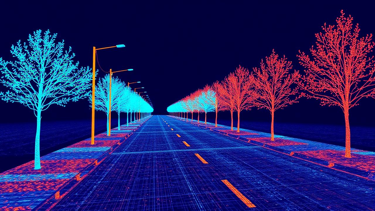
This session will examine how communities can use modern reality-capture methods to create reliable digital records of roads, sidewalks, signs, pavement, structures, vegetation, utilities and other elements of the public realm.
The discussion will explore how mobile mapping, terrestrial scanning, aerial collection, imagery and existing GIS data can work together to create a shared foundation for multiple departments and programs.
Rather than collecting information for one isolated project, agencies can build reusable infrastructure datasets that support public works, transportation, engineering, accessibility, planning, emergency response and long-term asset management.
Topics
- Creating authoritative inventories of the public realm
- Comparing mobile, terrestrial, aerial and traditional collection methods
- Capturing infrastructure while minimizing disruption to traffic and operations
- Establishing appropriate accuracy and resolution requirements
- Combining LiDAR, imagery, GIS and existing municipal records
- Designing reusable datasets that support multiple departments
- Planning phased, corridor-based or community-wide collection programs
- Managing and governing large three-dimensional datasets
Key Takeaways
Attendees will learn:
- How to define the business requirements for a reality-capture initiative
- How different collection methods support different municipal use cases
- How to prevent infrastructure data from becoming another isolated dataset
- How to create a foundation for future digital-twin, automation and AI programs
Session Resource Guide · Session One · Reality Capture
Reality Capture Readiness Guide
A fillable worksheet to define your capture requirements, compare collection methods and scope a reusable infrastructure dataset. Complete it on screen, save it, print it or forward it to colleagues.
- Summary of the session
- Suggested prompts to prepare with
- Questions for the speakers and panelists
- Worksheet plus room for your notes
Filling it in online saves your answers on this device, then lets you print, share or export a completed PDF.
Session Two · Analytics & AI
Turning 3D Data into Infrastructure Intelligence
Automating Inventories, Condition Assessment and Compliance
How do we turn that data into actionable intelligence?
Capturing detailed infrastructure data is only the beginning.
The real value emerges when agencies can transform imagery and point clouds into structured information that employees can use across daily workflows.
This session will examine how analytics and artificial intelligence can help identify, measure, classify and monitor physical assets throughout a community.
Applications may include pavement condition, traffic signs, road markings, sidewalks, utility poles, clearances, vegetation, street furniture and other transportation or public works assets.
The discussion will also address how extracted information can be integrated with GIS, asset management, work management, permitting, accessibility and inspection systems.
Topics
- Extracting infrastructure assets from LiDAR and imagery
- Creating and updating transportation and public works inventories
- Assessing pavement condition and surface deterioration
- Measuring slopes, dimensions, clearances and physical relationships
- Supporting ADA, PROWAG and other compliance programs
- Identifying vegetation encroachment and potential safety concerns
- Applying AI while maintaining human review and quality control
- Connecting extracted data with GIS and asset-management systems
- Establishing confidence levels and validation procedures
- Prioritizing the best workflows for automation
Key Takeaways
Attendees will learn:
- How to move from raw spatial data to structured asset information
- Which municipal workflows are best suited to automated extraction
- How to balance AI-driven efficiency with accuracy and quality assurance
- How better infrastructure intelligence can improve inspections, compliance and maintenance planning
Session Resource Guide · Session Two · Analytics & AI
Infrastructure Intelligence Extraction Guide
A fillable worksheet to prioritize automated extraction workflows, set quality-control expectations and connect results to your systems of record. Complete it on screen, save it, print it or forward it to colleagues.
- Summary of the session
- Suggested prompts to prepare with
- Questions for the speakers and panelists
- Worksheet plus room for your notes
Filling it in online saves your answers on this device, then lets you print, share or export a completed PDF.
Session Three · Digital Twin
The Living Infrastructure Digital Twin
Connecting Reality Capture with Maintenance, Planning and Capital Investment
How do we use that intelligence to improve operations and investment?
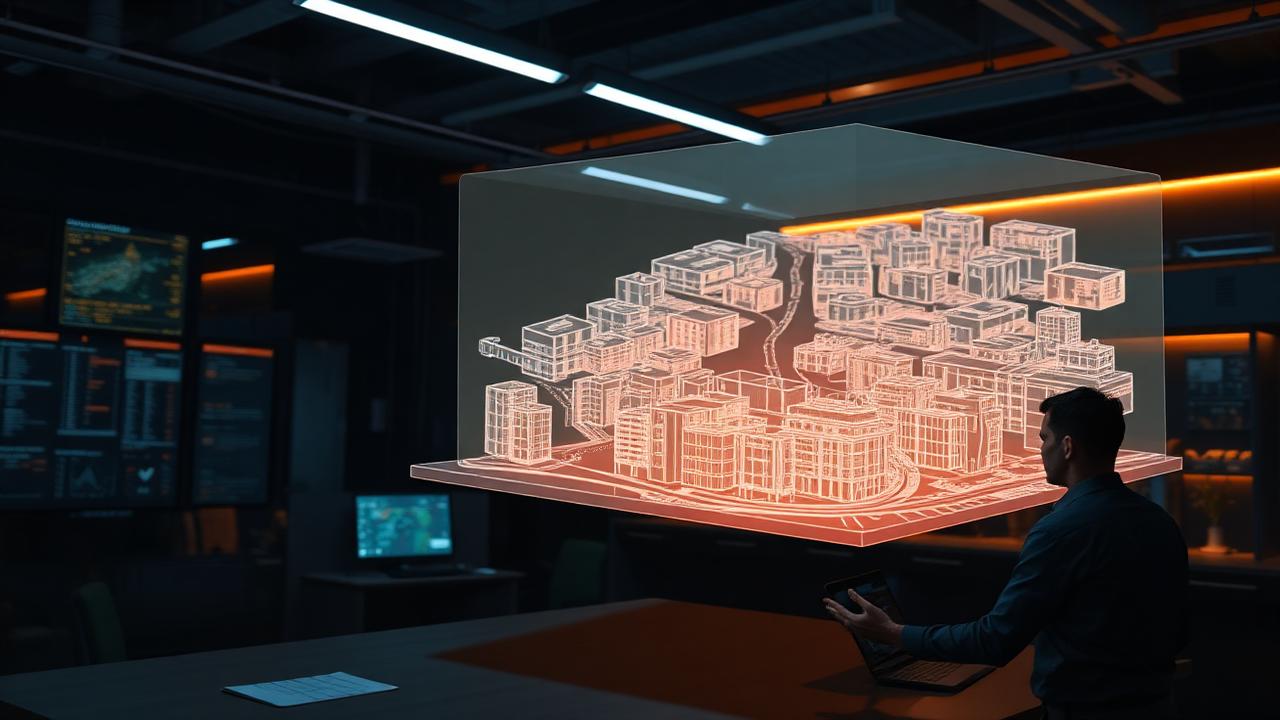
A digital twin should be more than a three-dimensional visualization.
Its real value comes from helping government understand what exists, what has changed, what is deteriorating and where investment is most urgently needed.
This session will examine how local governments can connect infrastructure data across the full asset lifecycle—from planning and design through construction, inspection, maintenance, renewal and replacement.
The discussion will focus on maintaining current information, comparing conditions over time, integrating field observations and turning digital infrastructure models into practical decision-support environments.
Topics
- Defining a practical digital twin for local government
- Connecting GIS, engineering, asset-management and reality-capture data
- Comparing design, as-built and current infrastructure conditions
- Monitoring deterioration and physical change over time
- Supporting preventive and predictive maintenance
- Prioritizing capital projects using condition, risk and service impact
- Establishing repeatable update and resurvey strategies
- Making infrastructure intelligence accessible across departments
- Defining governance, ownership and lifecycle responsibilities
- Building the organizational and financial case for implementation
Key Takeaways
Attendees will learn:
- How to move from a static 3D model to an operational digital twin
- How infrastructure data can improve maintenance and capital prioritization
- How recurring capture can reveal deterioration, change and emerging risk
- How to create a sustainable implementation roadmap rather than a one-time pilot
Session Resource Guide · Session Three · Digital Twin
Operational Digital Twin Roadmap Guide
A fillable worksheet to move from a static 3D model to an operational digital twin — covering update cycles, decision support, governance and the business case. Complete it on screen, save it, print it or forward it to colleagues.
- Summary of the session
- Suggested prompts to prepare with
- Questions for the speakers and panelists
- Worksheet plus room for your notes
Filling it in online saves your answers on this device, then lets you print, share or export a completed PDF.