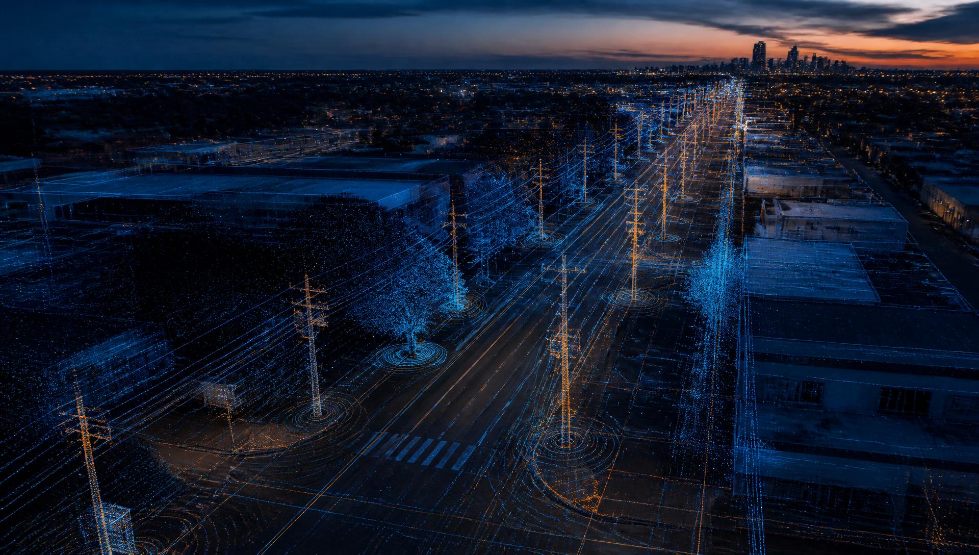
From Reality Capture to Infrastructure Intelligence
Building the digital foundation for smarter local government. Three sessions on capturing the physical environment, understanding what is there and managing how it changes.
Brought to you by
 Series Producer
 Member Company
130,000+
local government stakeholders, utilities, DOTs and public works professionals in our audience
Capture · Understand · Manage
Why This Matters
Local government manages what it can accurately see.
Local governments are responsible for managing thousands of miles of streets, sidewalks, transportation corridors, public spaces and critical infrastructure. Yet many agencies still rely on incomplete inventories, disconnected systems, periodic inspections and outdated records to make important operational and investment decisions.
Advances in LiDAR, mobile mapping, imagery, reality capture, artificial intelligence and digital-twin technology are creating a new opportunity. Communities can now build accurate, reusable digital representations of their infrastructure—helping departments understand what exists, assess its condition, monitor change and make better decisions about maintenance, compliance, planning and capital investment.
This three-part series brings together public-sector leaders, technical experts and industry practitioners to examine practical applications, implementation strategies and measurable outcomes.
The Series Journey
Three sessions. One infrastructure lifecycle.
Each session addresses a critical stage in the infrastructure intelligence lifecycle — from traditional infrastructure surveys toward continuously improving infrastructure intelligence.
Explore all sessionsWhy Attend
A practical understanding of modern reality-capture and infrastructure intelligence programs.
Improve the accuracy of infrastructure inventories
Reduce repetitive and fragmented data collection
Support safer and more efficient field operations
Strengthen compliance and condition-assessment programs
Improve collaboration between GIS, engineering and public works
Prioritize maintenance and capital investment
Prepare infrastructure data for AI and automation
Build a scalable foundation for digital twins
Event Format
Each 90-minute session includes:
The program remains technology- and vendor-neutral, with an emphasis on practical implementation, public-sector outcomes and lessons learned.
- 01An executive overview of the issue
- 02Local government case studies
- 03Educational presentations from technical specialists
- 04A moderated panel discussion
- 05Audience questions and answers
- 06Access to the recording and supporting resources
The Central Questions
Session 01
How do we create an accurate digital record of our infrastructure?
Session 02
How do we turn that data into actionable intelligence?
Session 03
How do we use that intelligence to improve operations and investment?
From data collection to better decisions.
The future of infrastructure management is not simply about collecting more data. It is about creating a trusted digital foundation that helps local governments see their communities more clearly, understand infrastructure conditions and make better decisions.
Capture the physical environment. Understand what is there. Manage how it changes.